Prints the current language. Choose A4 and Save as PDF in your browser. Review status and references remain included; this is a teaching inspiration sheet, not a certificate.
LEARNING INSPIRATION · CTL / EDC
The Anggi Lakes: Names, Maps and Evidence
SMP · Danau Anggi · Pegunungan Arfak
Classroom planning proposal
Adapt with a teacher; this is not an approved grade/phase mapping.
Proposed grade/phase
Junior secondary Grades 7–9; adapt map reading and scale calculations to class goals.
Suggested duration
40–60 minutes for source reading, calculation and comparison-card revision.
Materials
An attributed map with year and scale, lake documentation, rulers and card sheets. Not a field-navigation map.
Learning evidence
Attributed comparison cards, verification of simulated 4 cm at 1:100,000 = 4 km, and a note distinguishing straight-line from travel distance.
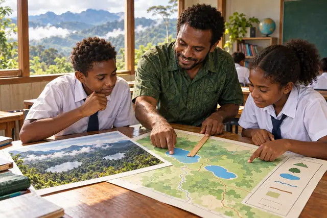
AI illustration for learning. Not a documentary photograph or a species-identification image. Confirm species details and cultural context with appropriate references and knowledge holders.
Goal — Junior secondary: read maps and identify geographical information sources.
Experience — Read documentation of Anggi Giji and Anggi Gida in the Arfak Mountains, West Papua. Locate their names on a sourced map. Distinguish lakes, districts and regencies.
Deconstruct — Identify title, direction, legend, scale and map year. In a simulation, 4 cm at 1:100,000 represents 4 km straight-line distance, not an actual travel-route length.
Create — Groups make comparison cards with sourced locations, visible features and follow-up questions. Add the scale example; peers check units and labels before revision.
Teacher reflection — Assess map use and separation of real information from simulated numbers. Use cultural lake stories only with appropriate sources and consent. Classroom maps are not navigation or travel advice.
Context references
These references support the context; EDC activities are PTLH teaching proposals.